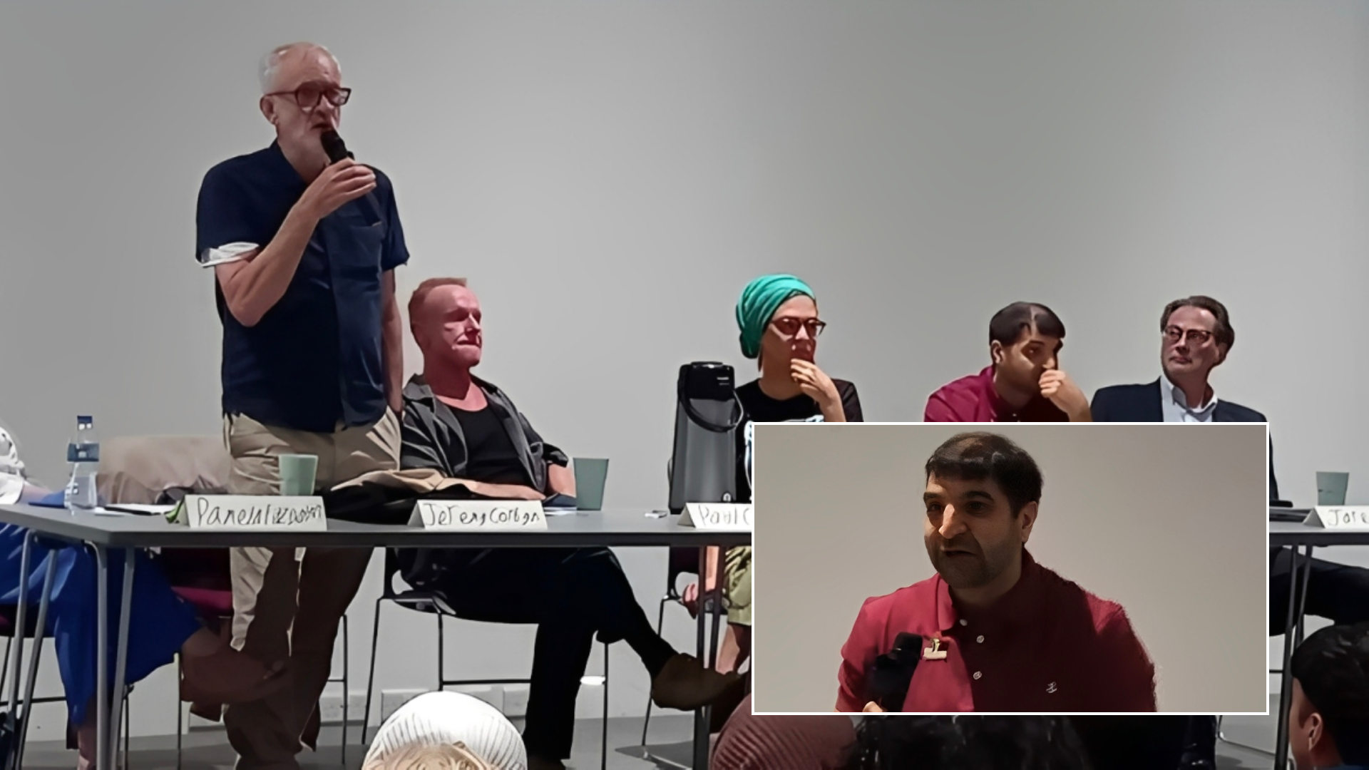
Elham Asaad Buaras
Claims that Apple Inc. has “erased” villages in southern Lebanon from its mapping service have been debunked, despite viral posts alleging a digital “cover up” linked to the ongoing conflict.
The allegations, widely shared across X, TikTok, Facebook and Instagram, suggested that towns had been deliberately removed from Apple Maps as Israel intensifies its military campaign in the region.
“As Israel invades, they are already setting the stage to justify occupation,” wrote one user in a post viewed millions of times. Another claimed: “Apple Maps has removed almost every town in Lebanon from the map while keeping every small town and village in Israel and Syria clearly marked.”
Some went further, describing what they saw as a form of “virtual depopulation”. “Apple Maps is showing Lebanon as a depopulated place. All village names erased,” one post read. “Guess nobody lives there…”
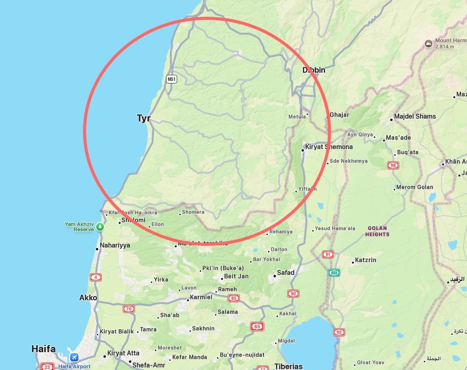
The claims were fuelled by side-by-side comparisons between Apple Maps and Google Maps, which appeared to show far fewer labelled locations in southern Lebanon on Apple’s platform. Towns such as Aita al-Shaab and Bint Jbeil were highlighted as being clearly visible on Google Maps but less prominent — or absent at certain zoom levels — on Apple Maps.
The controversy has unfolded against the backdrop of escalating tensions, with Benjamin Netanyahu signalling plans to expand Israeli control over parts of southern Lebanon, raising fears of further displacement.
However, Apple denied removing any locations, stating that the towns in question were never fully indexed on its platform. The company added that its most detailed mapping features, including navigation and comprehensive labelling, are not currently available in Lebanon, as its global rollout remains incomplete.
Evidence suggests these gaps long predate the current conflict. As early as 2019, users had reported that Apple Maps lacked routing functionality in Lebanon, with the country still absent from Apple’s official list of supported regions.
This indicates that the issue stems from longstanding limitations in mapping data, rather than any recent changes tied to the war.
Some users online acknowledged more technical explanations, pointing to differences in zoom-level design, data sources, and how each platform processes geographic information. Google Maps, which generally has broader global coverage, often displays more detailed labelling in such regions.
Nevertheless, the timing of the controversy has led to suspicion and anger online. “Apple has removed Lebanese village names in Southern Lebanon… they are already setting the stage to justify occupation,” another post claimed.
The backlash has extended to calls for boycotts. “Just deleted the app from my phone,” one widely shared message read, while another stated: “I will never again purchase any Apple product.”
The row comes as Israeli Defence Minister Israel Katz said Israel would maintain a “security zone” in southern Lebanon up to the Litani River, banning the return of hundreds of thousands of displaced residents and ordering the demolition of villages near the border.
Critics argue that even technical mapping decisions can carry political and humanitarian weight, shaping how conflict zones are perceived globally. The episode adds to a longer pattern of scrutiny over Apple’s role in contested regions, including past controversies over the labelling of Palestine and restrictions on map features during periods of conflict.
Apple, however, maintains that its mapping decisions are driven by data availability, safety, and technical constraints — not political intent.
As the debate continues, the controversy highlights a broader issue: how gaps in digital mapping can quickly become entangled in geopolitical narratives — particularly during war.
Feature photo: Screenshot of Apple Maps showing a largely unlabelled area of southern Lebanon, widely shared on social media as users claimed villages had been “erased” — allegations the company says stem from longstanding gaps in mapping coverage rather than recent changes. (Credit: X/CC)